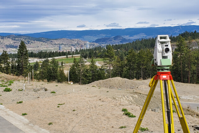
Land Surveying and Mapping.
Geographics Limited offers comprehensive surveying services,
including topographical, engineering, cadastral, and control
surveying. Using advanced technology like total stations,
Geodetic GPS, mobile mappers, and high-resolution satellite imagery,
we deliver precise controls for infrastructure, civil engineering,
property surveys, and urban planning. Our highly experienced team
ensures top-tier solutions across physical land use planning,
geodetic surveying, drone mapping, property surveying,
photogrammetry, remote sensing, and GIS database design,
all while upholding the highest ethical standards.
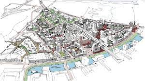
Physical/Land Use Planning
The Physical and Land Use Planning Act of 2019 defines physical planning as the process
of arranging physical infrastructure to ensure orderly and efficient land use through the
creation of spatial plans for sustainable development. Land use planning involves designating,
regulating, and organizing the present and future use of land to promote economic, social, and
environmental well-being. Geographics Limited specializes in physical planning, offering
services such as creating master plans, county spatial plans, and local development plans,
as well as managing site layout plans, land subdivisions, amalgamations, changes of use, and more.

GIS/Digital Mapping
Maps are essential tools in planning and surveying, offering graphical representations of spatial elements.
By using scale, they allow for detailed and extensive areas to be represented in manageable formats,
aiding off-field assessments and exploring various project scenarios. GIS, more than just software,
combines geospatial tools, methods, and expertise to handle large datasets, perform spatial analysis,
and present data visually. Our organization specializes in creating detailed maps tailored to client needs,
utilizing technologies such as drone mapping, GPS, high-resolution satellite imagery,
and CAD/Esri GIS (ArcGIS) for digital storage, retrieval, and analysis.

Sectional property surveys
As a new frontier in property ownership, we conduct sectional
property surveys to create plans for managing building units,
such as as-built floor plans for rental purposes and strata-titles. Our process includes:
- Data collection and verification
- Geo-referencing building structures and preparing site and building location plans
- Surveying floor areas and preparing floor plans
- Compiling survey records and plotting sectional plans
- Endorsing sectional plans with the Nairobi County Government
- Approval and authentication of sectional plans
- Amending the Registry Index Maps (RIM) and area list
- Registering sectional plans and preparing sectional titles

Development of the Land Information System (LIS)
A land information system (LIS) is a GIS-based information system that facilitates the
acquisition, archiving, administration, modification, and display of geographically referenced
land-based data (both spatial and non-spatial). The cadastral layer serves as the foundational data
for the LIS system's growth.
LIS preparation is often determined by user needs. As a result, we evaluate the goals of the client
and carry out the necessary data gathering, processing, system development, and
implementation.

Environmental Planning and Management
Geographics Limited conducts environmental planning and management studies, including
environmental impact assessments/audits, as well as strategic environmental and social
assessments for various development projects.
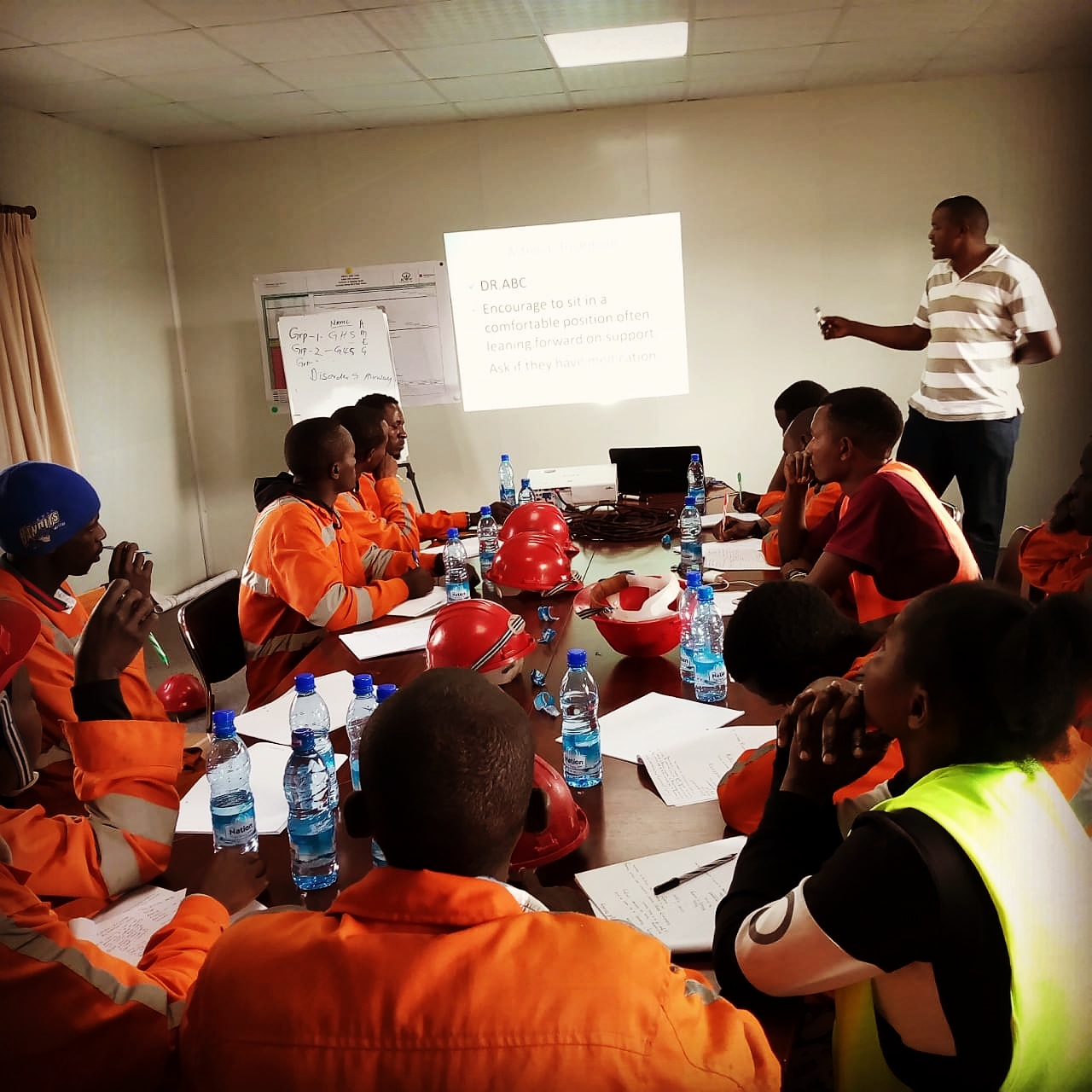
Research and Training
The organization has the necessary competence to perform research and training in a variety of
thematic fields, including social and economic challenges, housing, transportation, and the
environment in metropolitan areas. The extent and depth of study and training are adjusted to
meet the client's specific requirements. The firm's personnel has extensive expertise working with
a diverse spectrum of customers and communities. The firm's employees have been active in the
training and management of local government in Kenya.

Undertaking Socio-economic surveys/feasibility studies.
Our organization has extensive experience conducting multi-sectoral socioeconomic or feasibility
studies in a variety of industries, including housing and human settlements, transportation,
environmental studies, the industrial and commercial sectors.